Walk the Edge: Safe Coastal Hikes by UK Lighthouses

Set out confidently along Britain’s dramatic headlands as we explore tide patterns, fast-changing weather, and essential safety practices for hiking near UK lighthouses. From North Sea sea-fret to Atlantic squalls and powerful tidal ranges, we’ll help you plan smarter routes, avoid cut-offs, and enjoy the cliffside magic with practical tips, real examples, trusted tools, and community wisdom. Share your coastal experiences, subscribe for fresh field-tested guidance, and join fellow walkers who respect the sea while chasing unforgettable views.

Tides That Decide Your Day

Along lighthouse headlands, the sea writes the schedule. Spring tides push higher and retreat farther; neaps feel gentler yet can still trap the unprepared. The Bristol Channel’s mighty range reminds us how quickly mudflats vanish and causeways drown. At St Mary’s Lighthouse in Whitley Bay, locals watch the tide tables like hawks because one photo stop too many can mean a cold, waist-deep wade back. Learn the rhythm, carry the times, and give yourself generous margins.

Reading Spring and Neap Cycles

Mark new and full moons for spring tides, when height and range peak; note first and third quarters for neaps, when movement narrows but hazards remain. Use the rule of twelfths to estimate hourly changes, but never trust estimates near channels or narrow bays. Combine official tide tables with on-the-ground observation, and always backstop your plan with a firm turn-around time that beats the flood, even if the view still begs for one more linger.

Tidal Streams, Headlands, and Overfalls

Even on foot, tidal streams matter: they sculpt where kelp piles, expose slippery algae, and concentrate spray on clifftop paths. Headlands funnel water into overfalls that hurl foam further than you expect, drenching rock and rails. Use admiralty charts or respected apps to anticipate flows that intensify around promontories. If you must cross boulder beaches or inlets, plan crossings at genuine slack, not guessed lulls, and keep a safe buffer from any channel narrowing into rushing water.

Causeways, Cut-Offs, and Honest Turn-Around Times

Causeways can seduce with their simplicity, then disappear within minutes. At St Mary’s Lighthouse, the paved route floods faster than newcomers believe, while playful waves disguise the rising level. Agree a non-negotiable turn-around time before stepping off the mainland. Photograph the posted tide board on arrival; keep alarms set; assign a timekeeper. If you misjudge, do not sprint through deepening flow—retreat early, accept the delay, and use the wait to review the next leg with calmer judgment.

Forecasting the Sky Above the Beacon

Sea Fret, Haar, and Vanishing Horizons

Fog forms effortlessly where cool air meets a moist sea, swallowing paths between cairns and handrails you thought obvious. When visibility dissolves, even a familiar lighthouse can feel distant and ambiguous. Carry a compass, know your bearing to a sturdy backstop, and slow your group so feet find safe placements. Fog also dampens rock, turning pale patches slick. If the fret lingers, adjust ambitions: shorter loops, closer contours, and bailout routes that return inland sooner than planned.

Wind, Gust Factors, and Clifftop Multipliers

A forecast of 25 knots often hides 35-knot gusts on exposed edges where wind accelerates over cornices. Strong onshore flow multiplies spray, soaking layers and numbing hands quicker than expected. Hoods flog, eyes stream, and balance wobbles at the worst moments. Choose sheltered lines, test footing before committing, and avoid rim-hugging shortcuts. If trekking poles whistle, reassess your route’s exposure. Remember: a leeward detour, though longer, usually protects legs, morale, and ankles when gusts spike unpredictably.

Fronts, Squalls, and Reading the Radar

Rain radar helps you time movement between bursts, yet coastal microclimates still spring surprises. Watch for sharp-edged echoes and bowing lines that signal convective gusts. Pair radar with pressure trends and a glance at isobars: tightly packed lines promise punishing wind. When a dark curtain builds offshore, layer up before it arrives, stow electronics in dry bags, and assign someone to monitor changes. Share your go-to forecasting apps in the comments so others refine their pre-walk checks.

Cliff Edges, Surf Spray, and Steady Footing

Cornices, Undercuts, and Reading the Ground

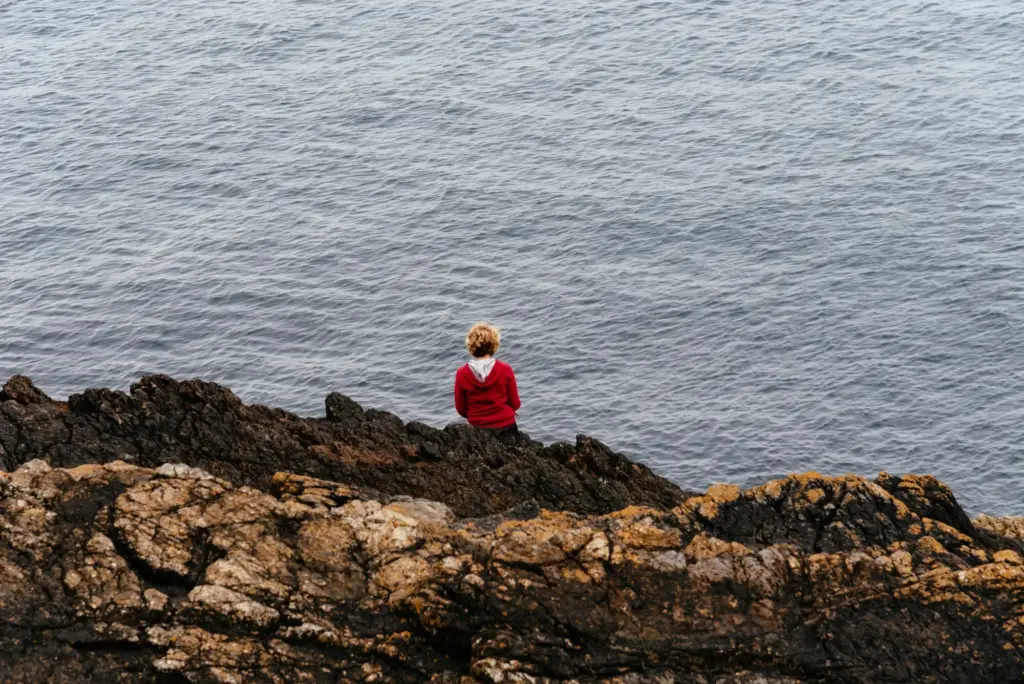
Look for tension cracks, fresh soil, and pale scar lines that show recent falls. Grass that seems level can hide air beneath as winter storms chew the base. Keep dogs leashed, step broad rather than narrow, and photograph hazards for local wardens to review. If you hear a hollow thud where earth should feel solid, step back immediately. Choose inland parallel lines when the seaward path skims an eroded edge, and celebrate the safer photo spot a few meters away.

Intertidal Traps: Kelp, Barnacles, and Surprise Spray

Kelp mats act like ball bearings, while polished green algae turns stone into ice. Barnacles shred palms when slips become instinctive grabs. Treat spray as rain: everything gets slicker and colder. Move deliberately, plant poles vertically, and keep weight centered over boots. If waves look patterned, wait two extra sets and watch for a larger, irregular surge. Never turn your back on the sea while crossing boulders; assign one person to watch the swell and call pauses clearly.

Cold Snaps, Frost, and Winter Micro-Ice

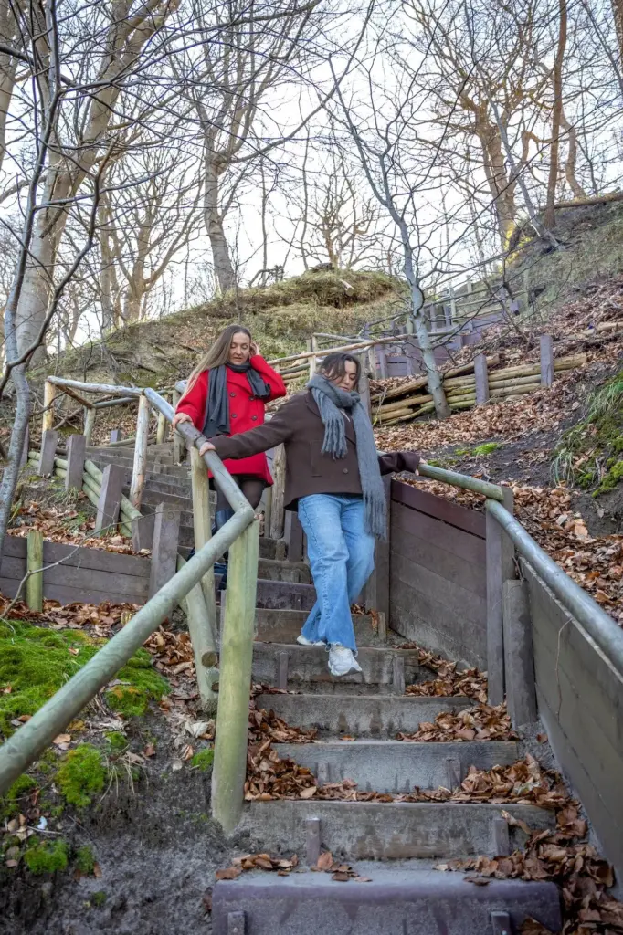
A clear night can lace wooden steps, boardwalks, and shaded slabs with invisible films of ice. Frosted mud behaves like greased clay on descents, especially where livestock has churned the path. Microspikes or aggressive soles earn their weight on such mornings. Keep strides short, loosen poles for swift plant-and-check rhythm, and unzip slightly to reduce sweat that later chills. If your breath steams heavily in low wind, anticipate glazed surfaces and recalibrate pace long before the tricky section actually appears.

Finding Your Way with Charts, Maps, and Lights

Navigation near lighthouses blends classical skills with modern tools. Ordnance Survey maps reveal right-of-way threads, access land, tidal flats, and danger symbols many walkers overlook. Light characteristics printed on charts—flashes, occultations, colors—offer orientation at late dusk if plans slip. GPS tracks and offline mapping apps shine when sea fret erases landmarks, yet a simple compass bearing to a robust inland handrail still feels unbeatable. Practise bearings at home, then trust them when cliffs whisper doubts.

Pack Smart: Clothing and Safety Essentials

Coastal weather punishes poor choices. Prioritize waterproof, windproof shells, warm mid-layers, and quick-drying base layers. Choose boots with dependable wet-rock grip, add gaiters for spindrift and spray, and stash gloves that still grip poles when soaked. A whistle, headtorch, foil blanket, and compact first aid kit weigh little yet rescue difficult moments. Keep your phone in a dry bag, know to dial 999 and ask for the Coastguard, and practice sending precise location using OS Locate or equivalent.

Respect the Coast: Wildlife, Heritage, and Community Wisdom

Lighthouses guard living landscapes. Nesting seabirds defend ledges in spring, grey seals rest on secluded beaches, and fragile flora clings to salty turf. Seasonal access restrictions protect more than signs can explain. Operational compounds host heavy gear; keep respectful distance even when gates seem inviting for photos. Chat with rangers, RNLI crews, and local walkers for the latest erosion notes and safe lines. Leave no trace, carry out litter, and donate stories or tips that help others return safely.